
What did Earth look like when dinosaurs lived?
Not one way, because their time was long enough for the map to change under them. By 200 million years ago, when the first dinosaurs had already appeared, almost all the land was joined in one enormous mass. By 100 million years ago the world was warmer, wetter, and had far more shallow sea than today.
AI reconstruction — not a photograph · Shutterstock AI/Shutterstock.com · Shutterstock Standard License
Three periods and two moments
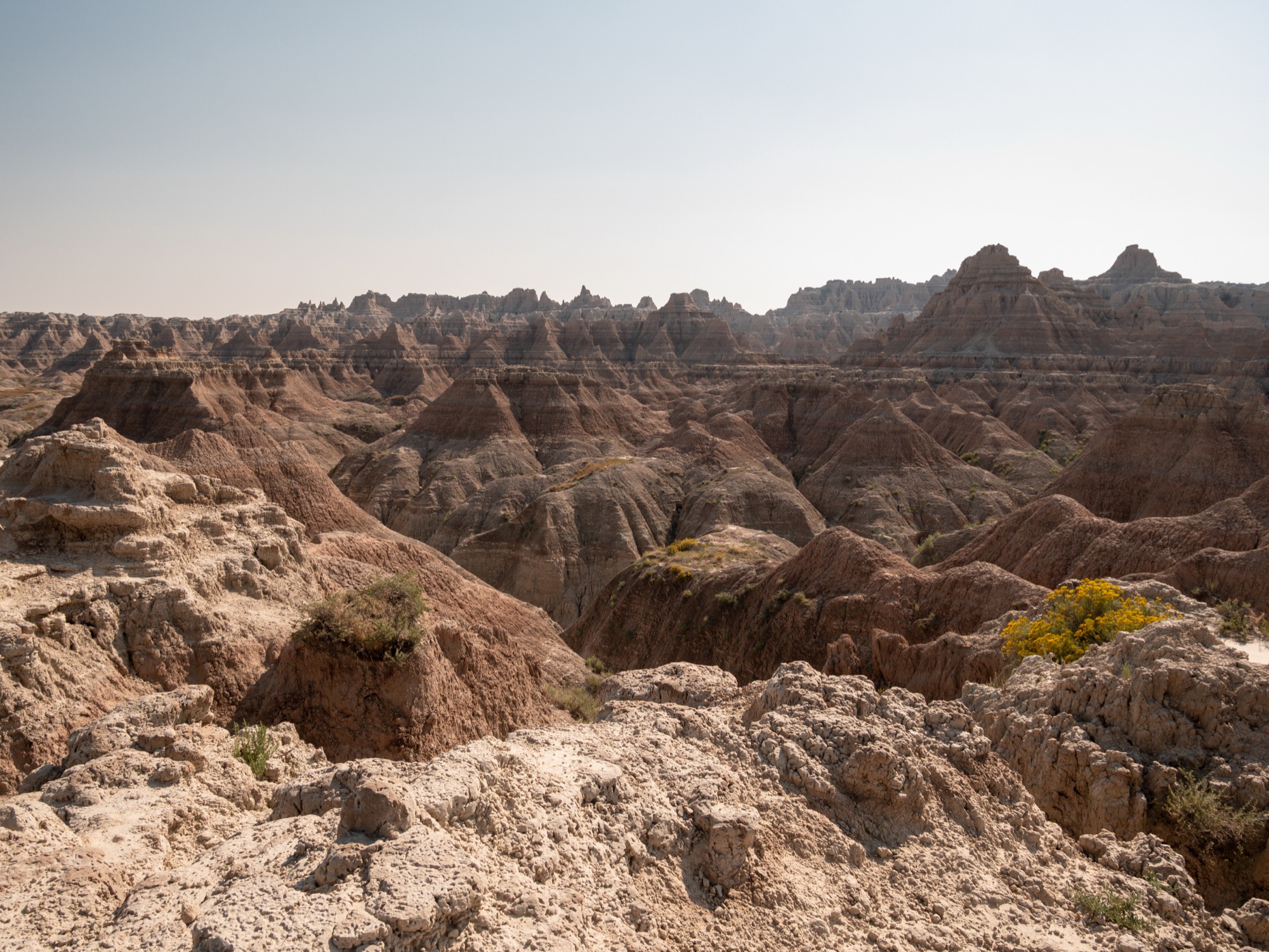
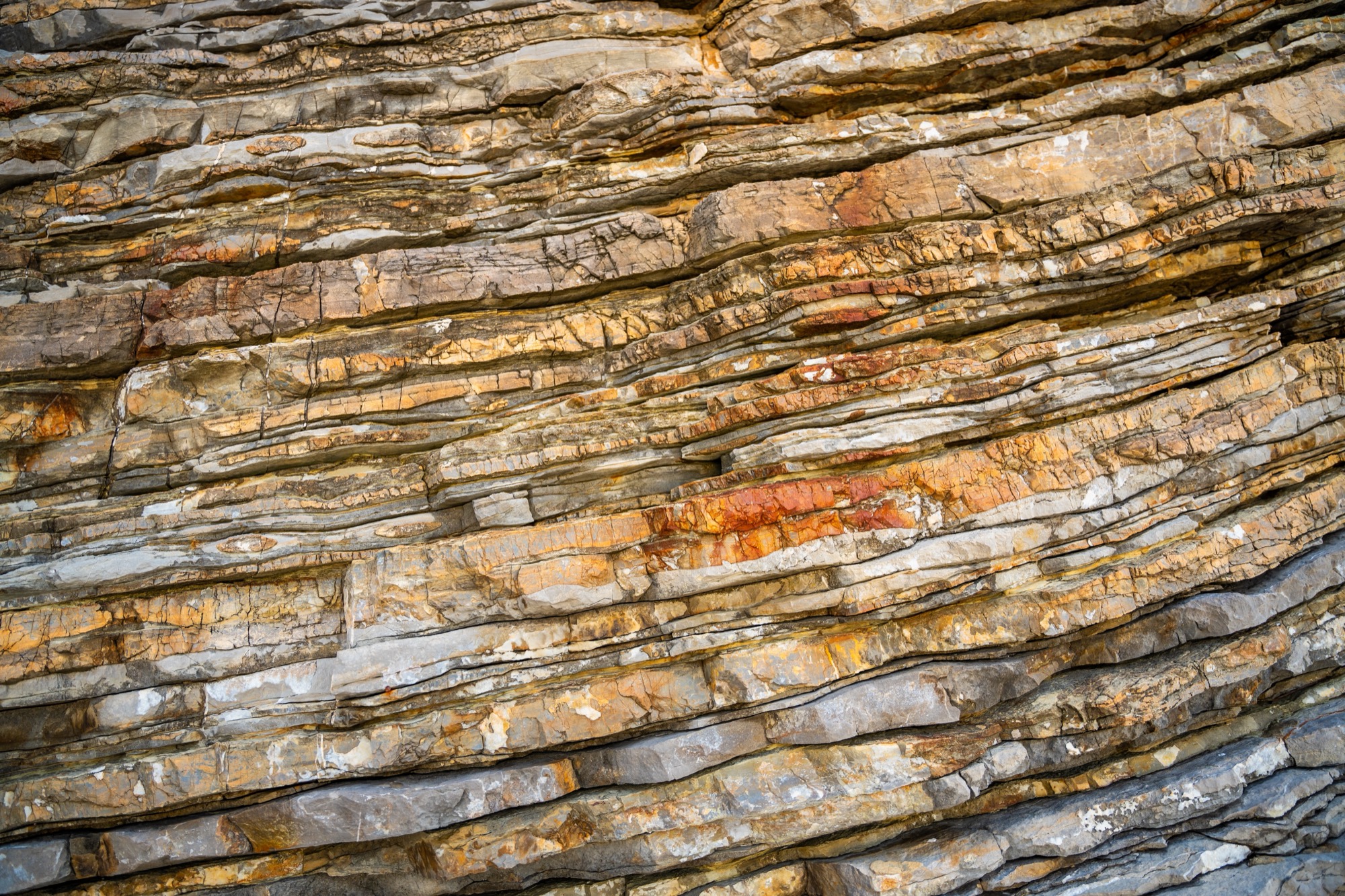
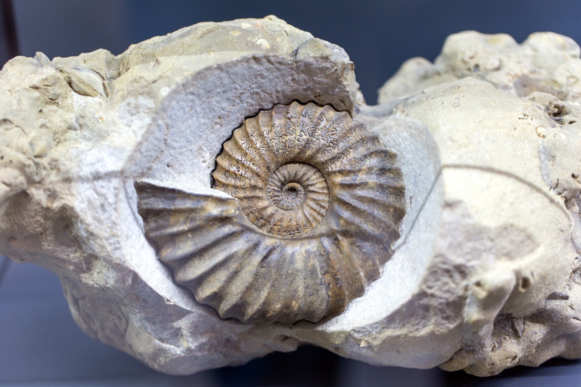
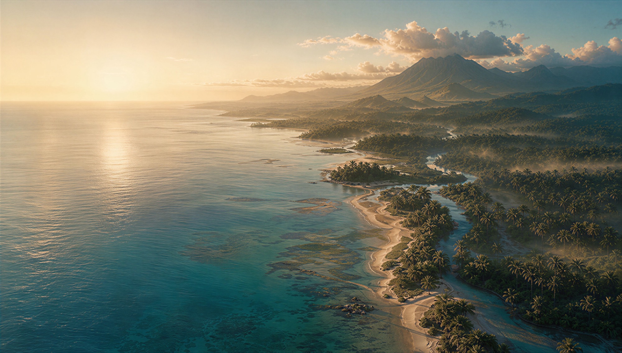


Real photograph · AI reconstruction — not a photograph: 301131261/Shutterstock.com · Tatiana Diuvbanova/Shutterstock.com · ArtEvent ET/Shutterstock.com · Shutterstock AI/Shutterstock.com · Sven Hansche/Shutterstock.com · Shutterstock Standard (free image collection, API) License · Shutterstock Standard License
How to read the five
The three period pages each carry their own start and end dates, from a source, and this page does not repeat them. The two moment pages each show a single map instead of a pair.
Read them in order and one number keeps moving: the share of the world below sea level. It falls across the Triassic and comes back in the Jurassic. The Triassic page is plain that it will not say why, because a reason would be a claim that no source here makes.
Where these answers come from
- The maps on the pages above
- PALEOMAP Paleodigital Elevation Models (PaleoDEMS) for the Phanerozoic, version 2. Scotese, C. R., & Wright, N. M. (2018). PALEOMAP Paleodigital Elevation Models (PaleoDEMS) for the Phanerozoic (Version 2) [Data set]. Zenodo. https://doi.org/10.5281/zenodo.5460860 Licensed CC BY 4.0, read on .
- How sure is this?
- Each of those maps is one model’s reconstruction — an estimate built from evidence, not a photograph. 1° cells — roughly 111 km at the equator. Nothing at the scale of a town can be read from this grid.
Where next
For the seas themselves, with names where a source gives one, go to What oceans existed during the dinosaurs? For what the animals drank in that world, start at What did dinosaurs drink? And for how a map of a world nobody saw can be trusted at all, read How do we know?